I decided to describe our site assessments in the next couple of posts as we’ve done some already and we’re going to do a couple in the next days. I’m really excited about them as we get to see rural Rwanda in different parts of the country. They are very interesting especially as some of the places are high in the mountains, on the fields or even in the jungle.
Waterfalls and the jungle – the purpose of our trip
Firstly we went to the Northern Province, knowing that in the district of Gakenke there is a hydro potential and some of our NGOs work there. It was also close to our energy kiosk in Minazi so we decided that’s it’s a great idea to go there as we can kill two birds with one stone.
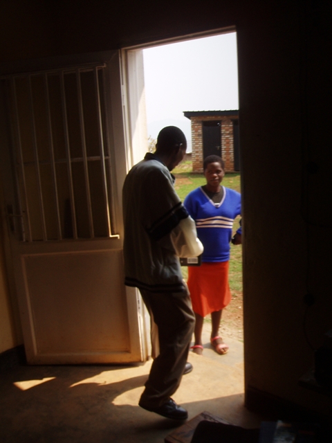
Visiting Minazi was a great experience that gave us a lot of hope in our project and we were very happy about the outcome of this visit. On the way there, about 20min drive to the village we had to ask for the way. As it turned out the best way to do so was to show our logo and people suddenly could indicate the right road being happy that they could help. When we got there our kiosk was open and we could see happy customers coming to the kiosk to recharge their batteries. Our shopkeeper was really glad to see us and gave us really in-depth feedback about the scheme. The local authorities said that they are very happy that our project was implemented there and they hope we can run it for the next couple of years, what is in line with our plans. On the way back to the main road in a different village we noticed a person with our battery box. That was definitely a highlight of this visit as we could see people using our battery boxes even in places relatively far from our kiosk.
Another happy customer 🙂
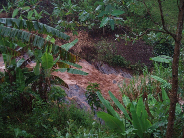
Afterwards we went north to visit some potential hydro sites. We found out that we should ask local people for ‘Isuma‘ which means waterfall in Kinyarwanda. They were really helpful and we always had a couple of them to accompany us. After visiting a couple of sites we’ve were totally soaked and the tropical rain was just about to show us what it means to get wet. Nevertheless we decided to go to Ruhengeri for lunch and then visit a few more waterfalls.
After the rain
On the way to Ruhengeri our driver told us that there is a well-known waterfall that used to be exploited 50 years ago but is no longer functional. We decided to stop there and see it. It was a great desicion as the civil works and the mechanical parts were still in place and except for the rust everything was in a really good condition. I wish we had had a screwdriver or a hammer to see the turbine inside the housing.
Site from the 60s
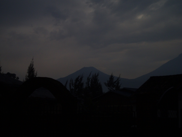
Afterwards we went to Ruhengeri, which is a relatively big city in the north of Rwanda and it’s really close to the volcano national park. Hence, we’ve seen some of the volcanoes.
VOLCANO!!!!
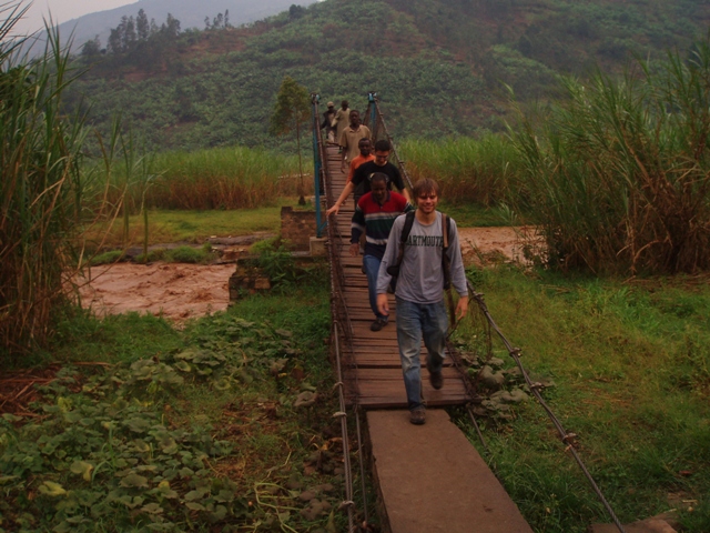
Leaving Ruhengeri we went to rural parts of Gakenke district. Although the road was marked as a good quality one, we were not allowed to forget about the place we were in as it was made out of the volcano stones which were really rough and uneven, forcing us to travel at maximum speed of 10 kph. Anyways, we knew that it’s a good spot for some further surveys as it was fairly remote, but still accessible. The last waterfall that we were to see was on the other side of the river and high up the hill. Looking for adventure we decided to follow a bunch of kids to the waterfall. Firstly we had to cross the river using a very unstable bridge bringing up memories of the film about the adventures of Indiana Jones. As soon as we crossed it we arrived in the local market with numerous people asking us to join them for a corn and locally made banana based drink. However, as we were running out of time we had to thank them for the invitation and move on with our hike. Going up the hill we were given an opportunity to practice greetings in Kinyarwanda a lot. Unfortunately as it was getting dark we had to turn back and get to the car hoping to come back there soon. At some point the kids started running away from us as so we started running after them down the hill and the game of tag started. Unfortunately we couldn’t continue the game for long as the sun already set and we had a long way back home, so we left Shyira and went back home. Although we expected it to be a short trip, as it turned out the rain made the river to flood the shortcut that we wanted to use, therefore, it took us about 4 hours to get back home.
The best bridge ever...
‘Site assessment no.2’ coming soon…
3 comments for “Site assessment no.1”
Great blog. I got a lot of great information. Ive been keeping an eye on this technology for awhile. Its interesting how it keeps shifting, yet some of the core elements stay the same.
awesome!
that is great and i really like it! of course your project has been implemented as spoken by our local authorities
and as you could see them even far from the kiosk
so for a short correction, waterfalls we say ISUMO not ISUMA
ok! be blessed!!!!
awesome!
that is great and i really like it! of course your project has been implemented as spoken by our local authorities
and as you could see them even far from the kiosk
so for a short correction, waterfalls we say ISUMO not ISUMA
ok! be blessed!!!!